
The American West
Zion Canyon
Zion National Park is part of the National Park Service. Located in southwest Utah, it is abutted
by Arizona and Nevada. Zion Canyon is one of many canyons which extend from the Grand
Canyon in Arizona to Salt Lake City in northern Utah. They formed when the Colorado Plateau
erupted; a combination of tectonic plate movement and volcanic activity.
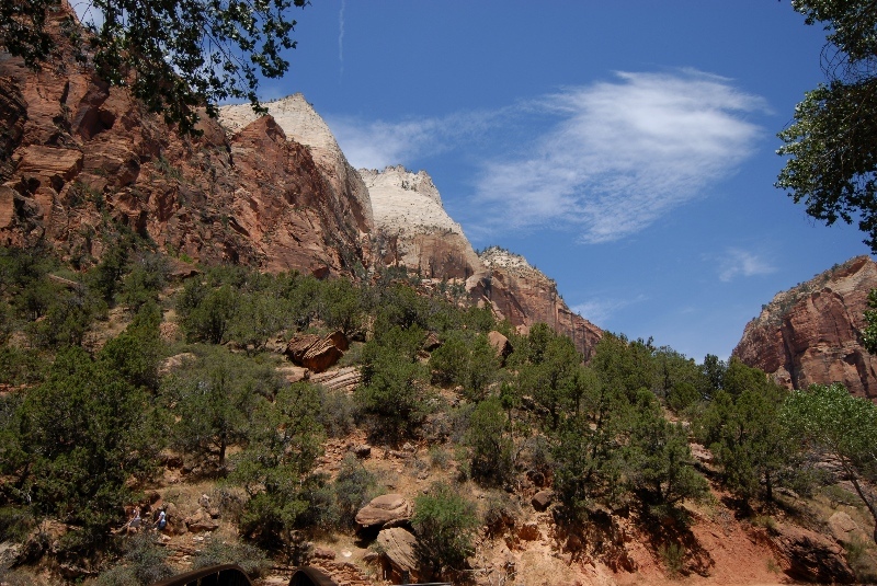
The canyons are absolutely gorgeous. The sun is shinning most of the time which provides for myriad
colorations and shadings as day begins, moving toward dusk. It would take a lifetime, literally, to
fully capture in photographs this beautiful part of the United States. We spent only five days here
and managed to take approximately 1075 photographs!! Thanks to digital photography, we were free
to take as many photos as time allowed. Presented here is but a sampling of the pictoral beauty of
Zion Canyon; a select number of images grouped according to their relative place in the canyon. The
map demonstrates the extent of accessible canyon sites within the park. It is advised to all who visit
to stay on the indicated trails and to always have others with you. There is no prohibition from
wandering anywhere you want; you just may not see civilization again!
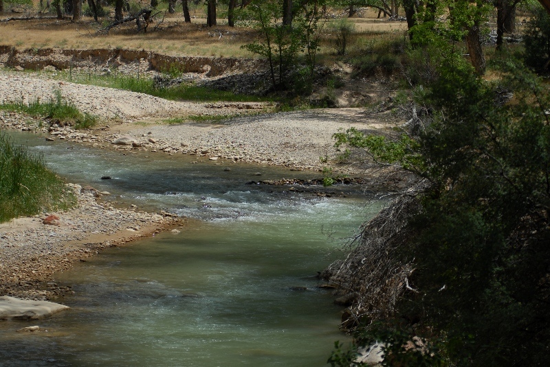
The canyons are home to a varied plant and animal life. Many flowering plants and Ponderosa
pine trees abound. There are also deciduous trees, such as the Hand Maple which change colors in
the Fall producing an even more dramatic and colorful visage.
Teresa and Sean planned our days and lead me to the many wonderfully beautiful places you will see
captured on camera. They also took photos as well and they are included here too.
Zion Canyon is entered from the southwest corner of Utah from Highway 9. A collection of hiking
trails highlight major aspects of the canyon. Although you do not have to stay on the trails it is
highly recommended you do so.
The trails vary in length, elevation and inclination. We walked some of them but several, such as
Angel's Head, are close to 4000 feet above sea level and require 3-6 hours hiking time! Also, as you
ascend the mountains the trails narrow and at some points where they bridge mesas there is nothing
to prevent you from falling off!
The canyons abound with mule deer, mountain lions, goat and Big Horn sheep. Turkeys, peregrine
falcons, hawks, ravens and western diamondback rattlesnakes add to the fauna.
The photos are organized in collections corresponding to the trail heads or mapped sections of
the canyon which we visited.